Slight injury collision — 2 October 2017
Northern Ireland · Armagh City, Banbridge and Craigavon · PSNI reference 4470
This page brings together the recorded collision, vehicle and casualty information in one report.
What was recorded?
PSNI recorded a slight-severity injury collision on 2 October 2017 at approximately 14:05 in Northern Ireland. The published dataset contains 2 vehicle records and 2 casualty records associated with this collision.
The collision was recorded within Armagh City, Banbridge and Craigavon. The published district identifies the council area, not the exact road.
The source records do not, by themselves, establish how the collision unfolded, what caused it or who was responsible.
Where did this collision happen?
PSNI recorded this collision in the Armagh City, Banbridge and Craigavon council area of Northern Ireland.
An exact road or junction name will only be displayed after the original collision coordinates have been accurately matched to verified mapping data.
Plot the recorded grid reference on a road map. The marker represents the published PSNI location, not a verified street address or precise point of impact.
View original location coordinates
Grid easting: 300498
Grid northing: 354710
Original PSNI grid coordinates in metres; these are not GPS latitude and longitude.
Vehicles and casualties
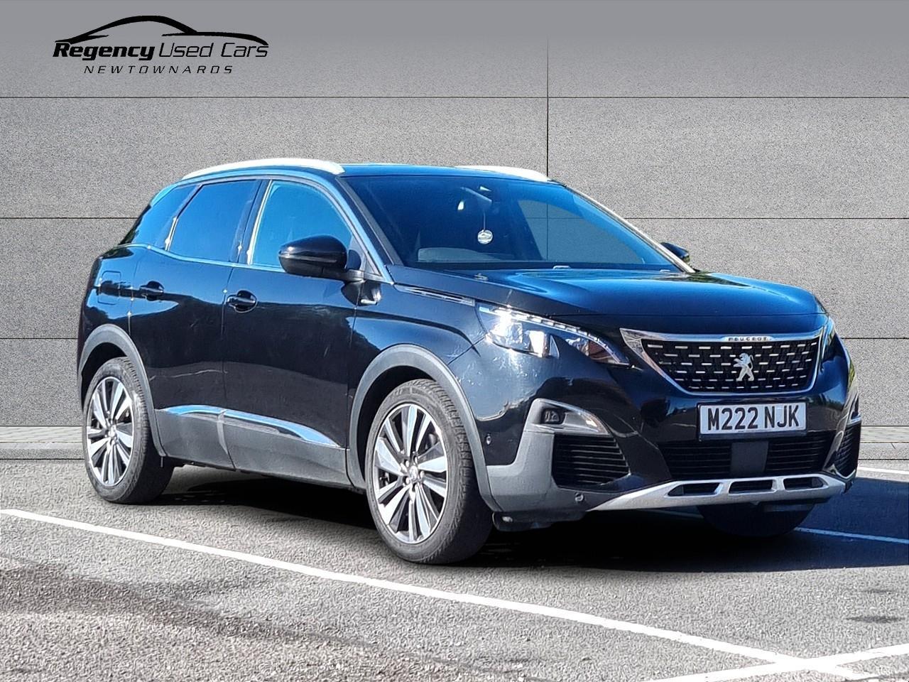
This collision has 2 associated vehicle records and 2 associated casualty records.
Other recorded injury collisions nearby
We searched the PSNI injury-collision records for 2013–2025 around this recorded location. The collision you're viewing is excluded from these totals.
Collision severity within 1km
Recorded collisions by year within 1km
| Year | Recorded collisions nearby |
|---|---|
| 2013 | 12 |
| 2014 | 23 |
| 2015 | 15 |
| 2016 | 21 |
| 2017 | 22 |
| 2018 | 16 |
| 2019 | 16 |
| 2020 | 7 |
| 2021 | 18 |
| 2022 | 19 |
| 2023 | 20 |
| 2024 | 19 |
| 2025 | 18 |
Nearest historical collision records
| Year | Severity | Approx. distance | Record |
|---|---|---|---|
| 2014 | Slight | 6m | View → |
| 2014 | Slight | 15m | View → |
| 2022 | Slight | 35m | View → |
| 2017 | Slight | 35m | View → |
| 2025 | Slight | 36m | View → |
| 2024 | Slight | 39m | View → |
| 2023 | Slight | 40m | View → |
| 2016 | Slight | 49m | View → |
Distances are straight-line measurements between PSNI Irish Grid locations, not driving distances. These are historical injury-collision counts, not a measure of the risk of travelling on the surrounding roads.
Speed cameras and enforcement in this area
PureCar also publishes official PSNI speed-camera sites, named enforcement roads and historical speeding statistics.
Explore Northern Ireland speed-camera locations
This directory does not indicate where a mobile camera van is operating now, or establish that speeding contributed to this particular collision.
Speed-camera sites in Armagh City, Banbridge and Craigavon
PureCar cross-references the published PSNI speed-camera directory with the council area recorded for this collision. These locations provide historical enforcement context.
| Published road | Locality | Site category | Published limit | Details |
|---|---|---|---|---|
| A1 Belfast to Sprucefield Roundabout to Lisnatierny | Not specified | permanent | 60 mph, 70 mph | View site |
| A27 Armagh Road, Portadown | Not specified | permanent | 30 mph, 50 mph, 60 mph | View site |
| A28 Gosford Road, Tandrage | Not specified | permanent | 60 mph | View site |
| A3 Dobbin Road, Portadown | Not specified | permanent | 50 mph | View site |
| A3 Monaghan Road, Armagh | Not specified | permanent | 30 mph, 60 mph | View site |
| A3 Portadown Road | Amagh | community | 40 mph | View site |
| Ballyeden Meadows | Magheralin | community | 30 mph | View site |
| Ballynadrone Meadows | Magheralin | community | 30 mph | View site |
| Banbridge Road | Loughbrickland | community | 30 mph | View site |
| Banbridge Road | Waringstown | community | 30 mph | View site |
| Blackisland Road | Loughall | community | 40 mph | View site |
| Dungannon Road | Portadown | community | 60 mph | View site |
Showing 12 of 23 published council-area records.
View all published sites in Armagh City, Banbridge and Craigavon
These are published locations across the council area, not necessarily sites near this collision. This section does not identify a live speed van, prove an enforcement vehicle was present on the collision date, or imply speeding caused the collision.
Original PSNI evidence
Expand the sections below to inspect the complete published information. Numeric classification codes are left unchanged until their definitions have been verified.
Collision circumstances — original fields
| PSNI field | Recorded value |
|---|---|
| a_year | 2017 |
| a_ref | 4470 |
| a_District | ARBC |
| a_type | 3 |
| a_veh | 2 |
| a_cas | 2 |
| a_wkday | MON |
| a_day | 2 |
| a_month | 10 |
| a_hour | 14 |
| a_min | 5 |
| a_gd1 | 300498 |
| a_gd2 | 354710 |
| a_ctype | 13 |
| a_speed | 30 |
| a_jdet | |
| a_jcont | |
| a_pedhum | |
| a_pedphys | |
| a_light | |
| a_weat | |
| a_roadsc | |
| a_speccs | |
| a_chaz | |
| a_scene |
Vehicle record 1
| PSNI field | Recorded value |
|---|---|
| a_year | 2017 |
| a_ref | 4470 |
| v_id | 1 |
| v_type | 8 |
| v_tow | 1 |
| v_man | 3 |
| v_loc | 3 |
| v_junc | |
| v_skid | |
| v_hit | |
| v_leave | |
| v_hitoff | |
| v_impact | 3 |
| v_sex | 2 |
| v_agegroup | 4 |
| v_hitr | 1 |
| v_forreg |
Vehicle record 2
| PSNI field | Recorded value |
|---|---|
| a_year | 2017 |
| a_ref | 4470 |
| v_id | 2 |
| v_type | 8 |
| v_tow | 1 |
| v_man | 4 |
| v_loc | 3 |
| v_junc | |
| v_skid | |
| v_hit | |
| v_leave | |
| v_hitoff | |
| v_impact | 2 |
| v_sex | 1 |
| v_agegroup | 5 |
| v_hitr | 1 |
| v_forreg |
Casualty record 1
| PSNI field | Recorded value |
|---|---|
| a_year | 2017 |
| a_ref | 4470 |
| v_id | 1 |
| c_id | 1 |
| c_class | 1 |
| c_sex | 2 |
| c_agegroup | 4 |
| c_sever | 3 |
| c_loc | |
| c_move | |
| c_school | 8 |
| c_pcv | |
| c_pedinj | |
| c_vtype | 8 |
Casualty record 2
| PSNI field | Recorded value |
|---|---|
| a_year | 2017 |
| a_ref | 4470 |
| v_id | 1 |
| c_id | 2 |
| c_class | 3 |
| c_sex | 1 |
| c_agegroup | 4 |
| c_sever | 3 |
| c_loc | |
| c_move | |
| c_school | 8 |
| c_pcv | |
| c_pedinj | |
| c_vtype | 8 |
About this information
Source: Police Service of Northern Ireland historical injury road traffic collision dataset, 2017. This is a statistical record, not a police investigation report. Damage-only and unreported collisions are not represented.
PureCar displays the information recorded in the published dataset. A recorded circumstance does not necessarily establish the cause of a collision.